Haxey (incl Burnham, Graizelound & Eastlound) Click thumbnail for old Haxey pics
Haxey is a large parish on the southern border of the Isle of Axholme. It now consists of the two large villages of Haxey and Westwoodside with the hamlets of Burnham (High and Low), Eastlound and Graizelound. In earlier days Westwoodside was divided into Park, Newbigg, Nethergate and Upperthorpe.
The parish is situated on a series of low-lying hills reaching to about 200 feet which would have protruded from the marsh surrounding them, until the beginning of the drainage by Vermuyden in 1626. This swampy area was supposedly caused by the Romans, who are reputed to have cut down the surrounding forest areas to prevent raids by the Coritani, based on higher ground. Up until the time of the drainage, the main occupations of the parish were wild-fowling, fishing and pasturage with some arable farming on the higher land. The inhabitants, with those of the neighbouring parishes were referred to by the antiquarian Abraham de la Pryme as "being little better than heathens", and the independent spirit shown during the drainage disputes continues to the present day. The total population is 4359 from the 2001 Census Area Profile. Previously, generally regarded as the capital of the Isle of Axholme, it was considerably destroyed by fire in 1741 |
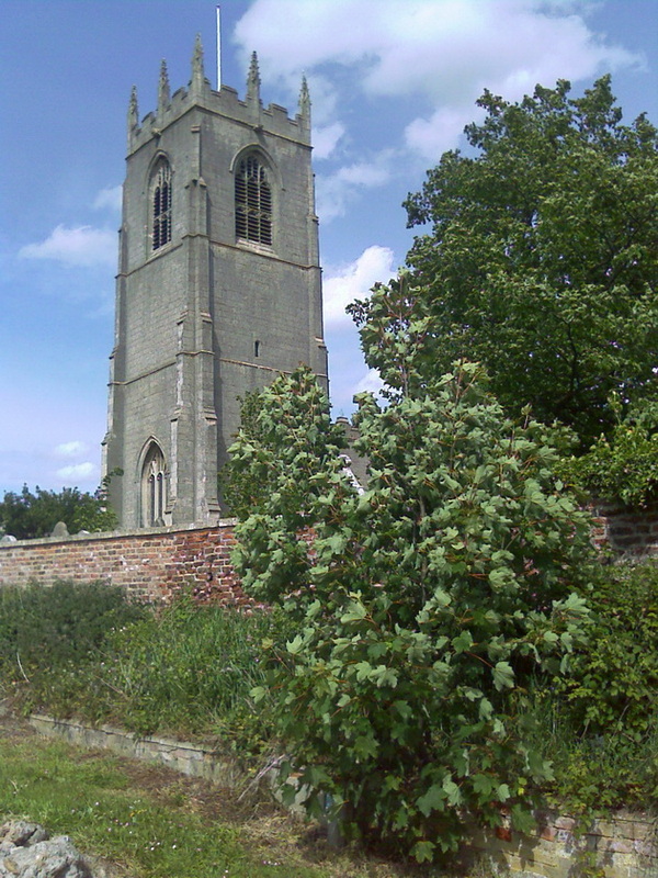
St Nicholas Church
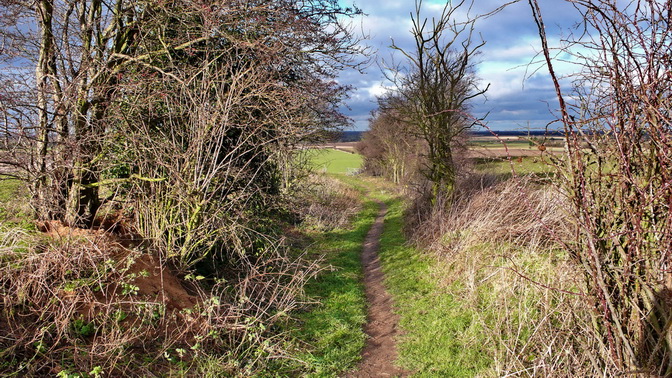
Haxey has many miles of public footpaths
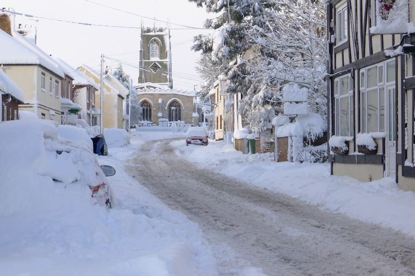
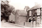
Church St in Winter
The church viewed from the East
|
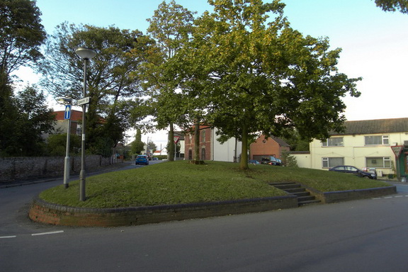
Greenhill
|

The water tower between Haxey & Westwoodside
|

Methodist Chapel
|
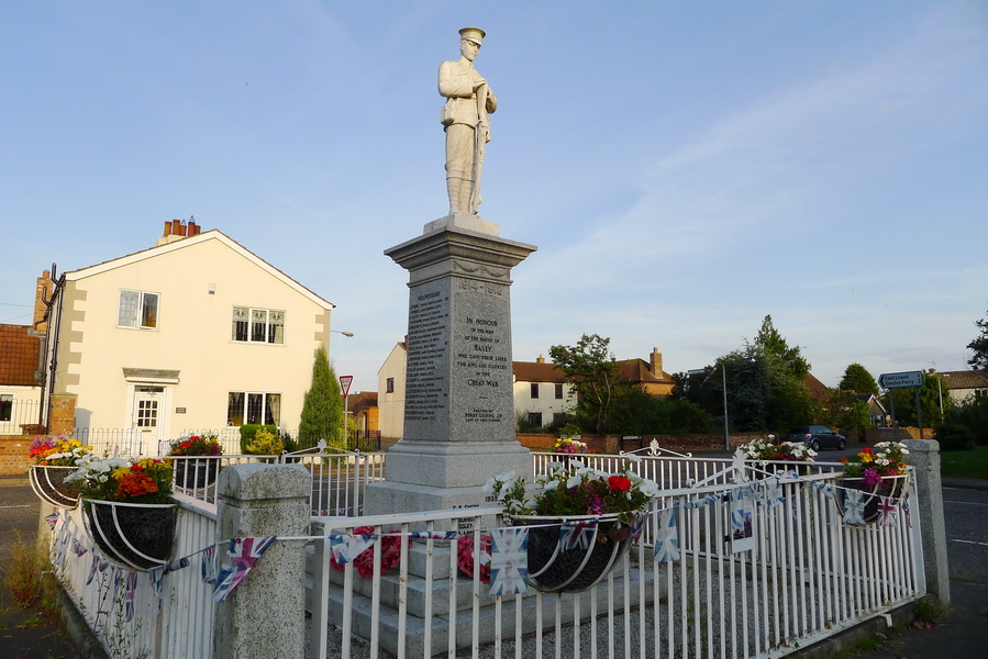
War Memorial
|
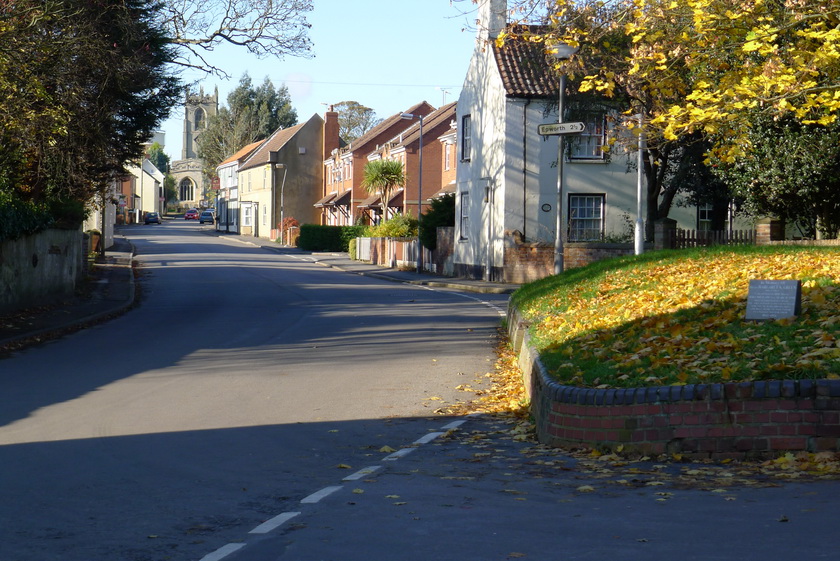
Church Street
|
Click thumbnails for Haxey links

Primary School
|

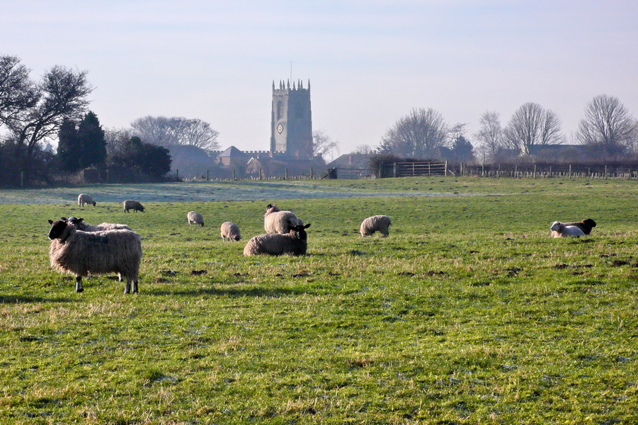
St Nicholas Church
|
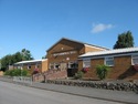
Haxey Memorial Hall
|

|
Weather Haxey
|
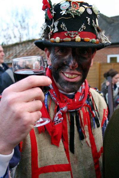
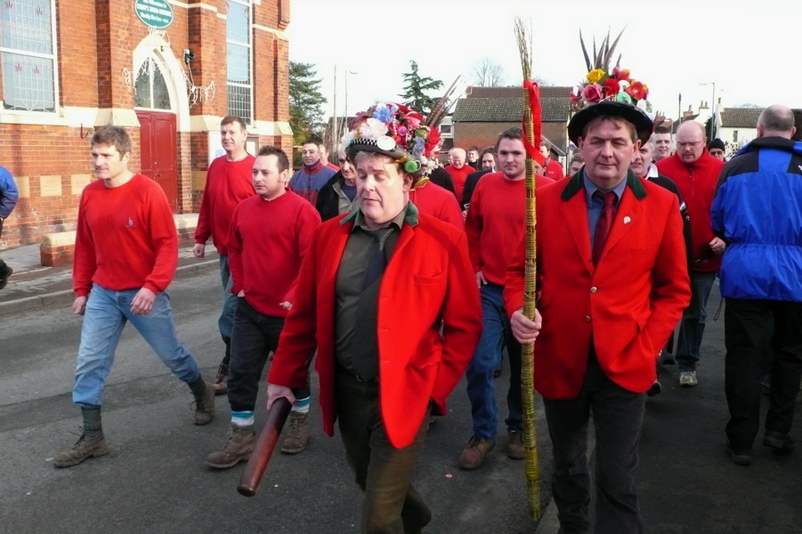
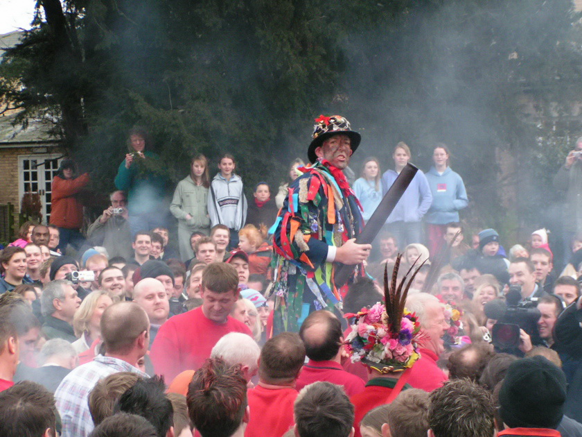
The Haxey Hood
Haxey is famous for its annual Hood game held on the 6th of January and is one of the most ancient traditions of its kind in the country, probably dating back to the fourteenth century.
Click here for Haxey Hood site
Click here for Haxey Hood site

|
|
|
|
High & Low Burnham_Described in Domesday (1086) as Brune and again in 1115 as Brunum. The origin of the name seems to be Anglo Saxon, bourn, a brook and ham, a home, then altered to Scandinavian, brunnr - place at a spring, meaning settlement by a spring or stream. The village is now two separate settlements, High and Low Burnham.
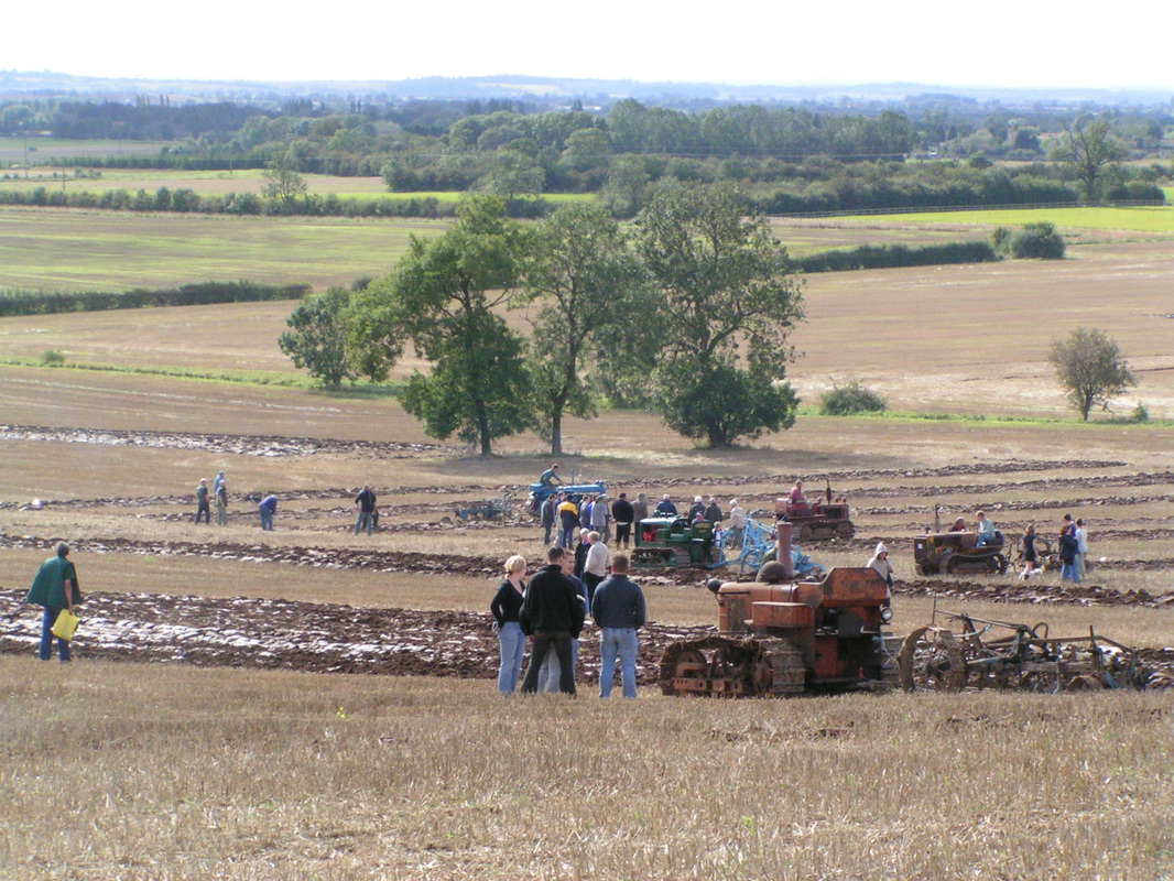
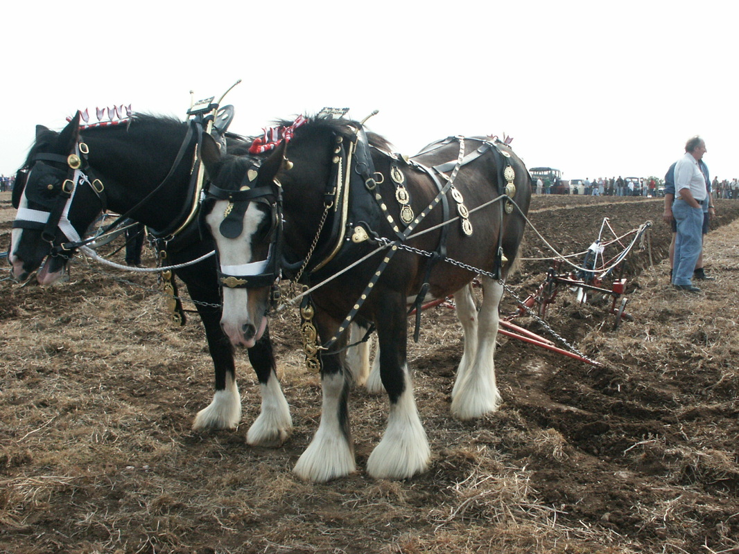
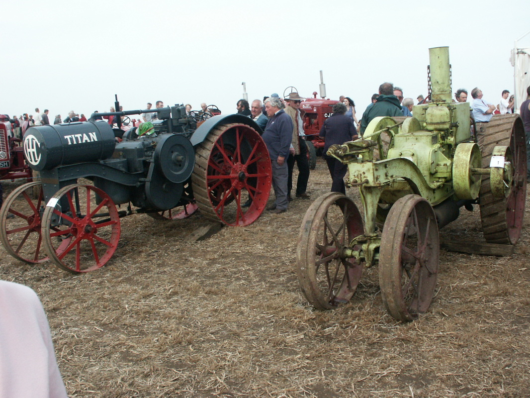
There was a well at Burnham called Holy Well and healing properties were attributed to the waters, pilgrimages were made there on Ascension Day. The Epworth Bells of 27th November 1875 states that, "the Holy Well re-opened to the public for obtaining healing water". For the past few years High Burnham has been the site of the annual Festival of the Plough, a celebration of past farming and rural ways of life, with extensive displays and competition’s in horse ploughing, vintage tractors and engines along with many craft displays of a bygone era.
|
GraizeloundIn 1361 Craslounnd, in 1596 Craieslownde, in 1626 Grazelound, in 1851 Graiselound or even sometime more recently Craiselound, but for this site it is officialy Graizelound, the Southern most part of the parish of Haxey and the Isle of Axholme.
Click thumbnail for old Graizelound pics
|